
Pleasant Grove ZIP Coverage
Official sources support 84062 as the Pleasant Grove association. The Pleasant Grove Post Office is at 180 S 100 W, with the postal line shown as Pleasant Grove, UT 84062-6200. USPS lists counter hours Monday through Friday 8:30 to 5:30 and Saturday 9 to 1, with PO-box access listed around the clock. For a real address, the USPS lookup remains the controlling source.
| ZIP | Area or association | Post office | Notes |
|---|---|---|---|
| 84062 | Official Utah list association with Pleasant Grove | Pleasant Grove, 180 S 100 W | Verify each address |
| 84003 | Nearby American Fork postal area | American Fork area | Citywide edge overlap not established |
| 84042 | Nearby Lindon postal area in nonofficial map references | Lindon area | Do not assign without USPS check |
The 84003 and 84042 rows are caution rows, not claims that those ZIP codes serve Pleasant Grove. The inspected official USPS and UGRC sources did not provide a complete edge-overlap list. An address near a boundary needs an address-level answer.
Pleasant Grove ZIP Geography
UGRC ZIP Code Areas are approximate delivery geographies. They are not the same as a city limit, subdivision, precinct, school area, county parcel, or neighborhood. A polygon can help display the general area, but it cannot prove that every point inside receives the same postal result. USPS output is the better answer for a specific street line.
The city’s street code gives another layer. Main Street is the north-south baseline, Center Street is the east-west baseline, and numbered streets use directional designations from those axes. Postal formatting and city numbering work together, but neither turns ZIP 84062 into a current-resident directory. The UGRC ZIP layer carries the boundary warning and update context.
Find Pleasant Grove Residents by ZIP Code
A ZIP-keyed search should narrow geography, not name a whole population. The voter lookup does not offer a public ZIP-wide browse. The county property systems key on address, serial, abstract, tax description, or document number. GIS can search an address, serial, or owner and place parcels on a map. USPS verifies the postal line. Use the system that owns the answer.
- Enter the full address in USPS and save the returned ZIP or ZIP+4.
- Record postal city, municipality, county, and source date as separate fields.
- Search the county GIS by address and confirm the parcel serial.
- Use the parcel or abstract route for a recorded property connection, not a household claim.
- If the question is about one person, move to the appropriate official name system and keep the ZIP as context.
Once a ZIP narrows the search to a street, the Pleasant Grove street directory explains the next address-keyed step. A ZIP result should never be presented as a list of everyone who lives inside it.
Pleasant Grove USPS Fields
The USPS lookup offers three modes: Find by Address, Find by City and State, and Find Cities by ZIP. The address mode can return a postal ZIP or ZIP+4. The city-and-state mode can identify associated places. The city-by-ZIP mode is useful for a postal association, but it is not a parcel boundary service.
| Street, city, state | Address input for a specific delivery answer. |
|---|---|
| ZIP or ZIP+4 | Postal output to preserve with the lookup date. |
| Postal city | USPS mailing label, which can differ from incorporated municipality. |
| County parcel | Separate county GIS or Land Records key, including serial and situs line. |
| Precinct | Election geography, not a ZIP or neighborhood. |
- ZIP code
- A postal delivery construct, not a legal city boundary.
- ZIP+4
- An added delivery segment returned for a particular address.
- Carrier route
- A postal delivery grouping, not a neighborhood or household roster.
- PO-box ZIP
- A ZIP used for post-office boxes, which may not map to home parcels.
The dynamic USPS form was not fully captured in the inspection, so the exact current field order may change. Use the live form for the address-level result and do not infer a service boundary from a nearby post office.
Pleasant Grove City Statistics and ZIP
Census QuickFacts reports Pleasant Grove city context: 37,726 people in 2020, a 37,773 estimate for 2025, 9.18 square miles in 2020, and 4,111.4 people per square mile. It also reports 32.2 percent under age 18, 9.5 percent age 65 or older, and median household income of $101,073 for 2020-2024. Those values describe the incorporated city, not ZIP 84062.
Do not divide city numbers into a ZIP estimate. A ZIP is built for delivery and may not align with a Census place, while the county parcel map and city code answer still different boundary questions. If a report needs population, cite the Census geography. If it needs a mailing answer, cite USPS. If it needs a parcel, cite county GIS or Land Records.
The Census QuickFacts profile is useful context, not an individual lookup.
Pleasant Grove 84062 Maps
An address can carry a postal city of Pleasant Grove, a county parcel in Utah County, a city boundary from GIS or code, a precinct identifier from the Clerk, and a ZIP polygon from UGRC. These values may all be valid while describing separate systems. The Utah County precinct map lists Pleasant Grove precincts 301, 302, 303, 304, 306-314, and 316-326. A precinct number is not a ZIP code or a neighborhood name.
The county map and USPS should be tested together for an edge case. Research did not confirm a complete official overlap list for 84003 or 84042. Keep “address-level verification required” when sources disagree. Do not use a nearby post office as proof of delivery territory or municipality.
Address worksheet. Keep the printed address, USPS line, county situs, postal city, municipality, ZIP, parcel serial, and source date in separate columns. This makes a mismatch visible instead of hiding it.
Two Pleasant Grove ZIP Views
The Utah state ZIP list is the official association source for this directory.
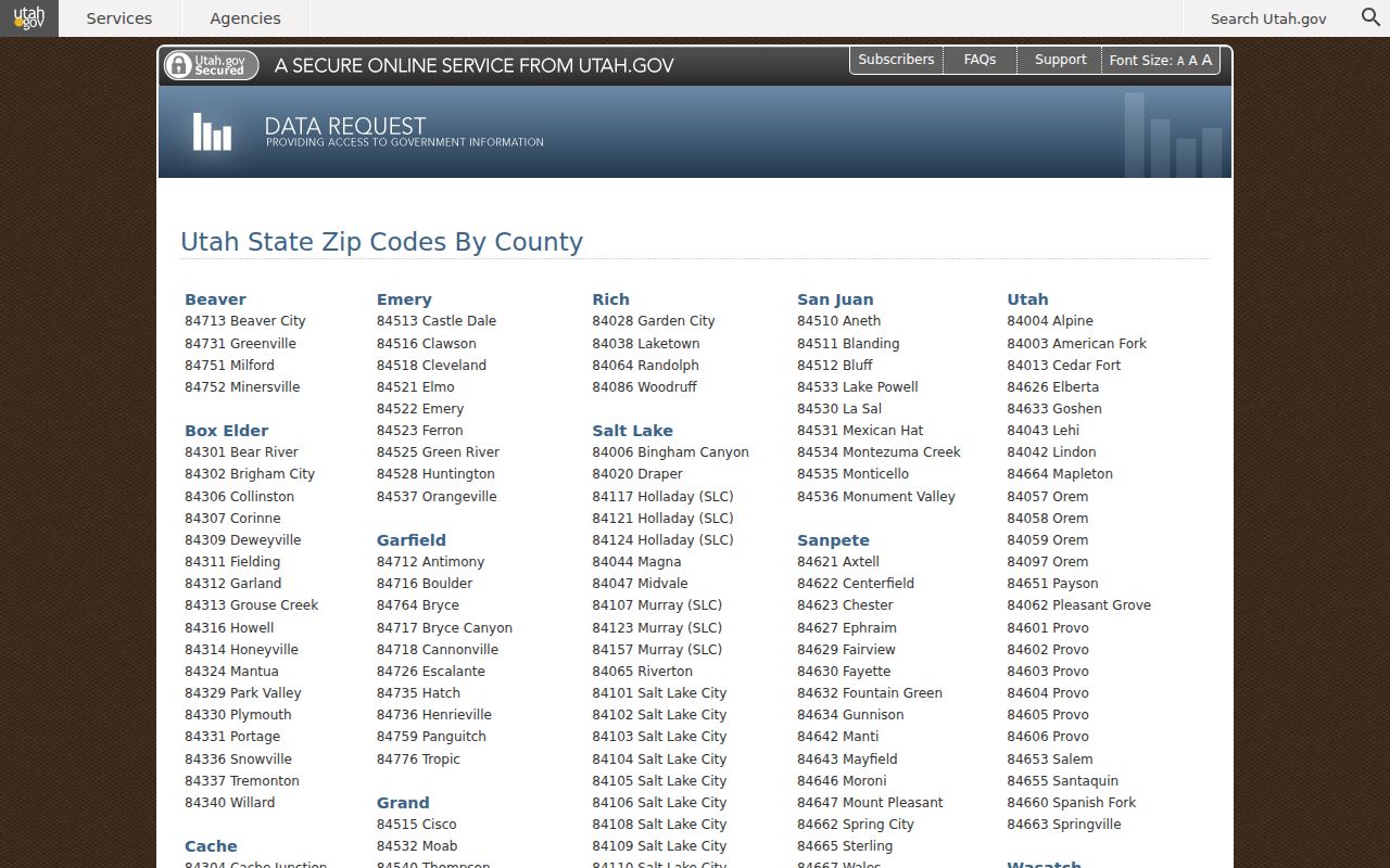
It supports Pleasant Grove and 84062 as a city and ZIP pairing, while leaving address-level delivery questions to USPS.
The Utah ZIP Code Areas map source shows the geographic caution used for the ZIP discussion.
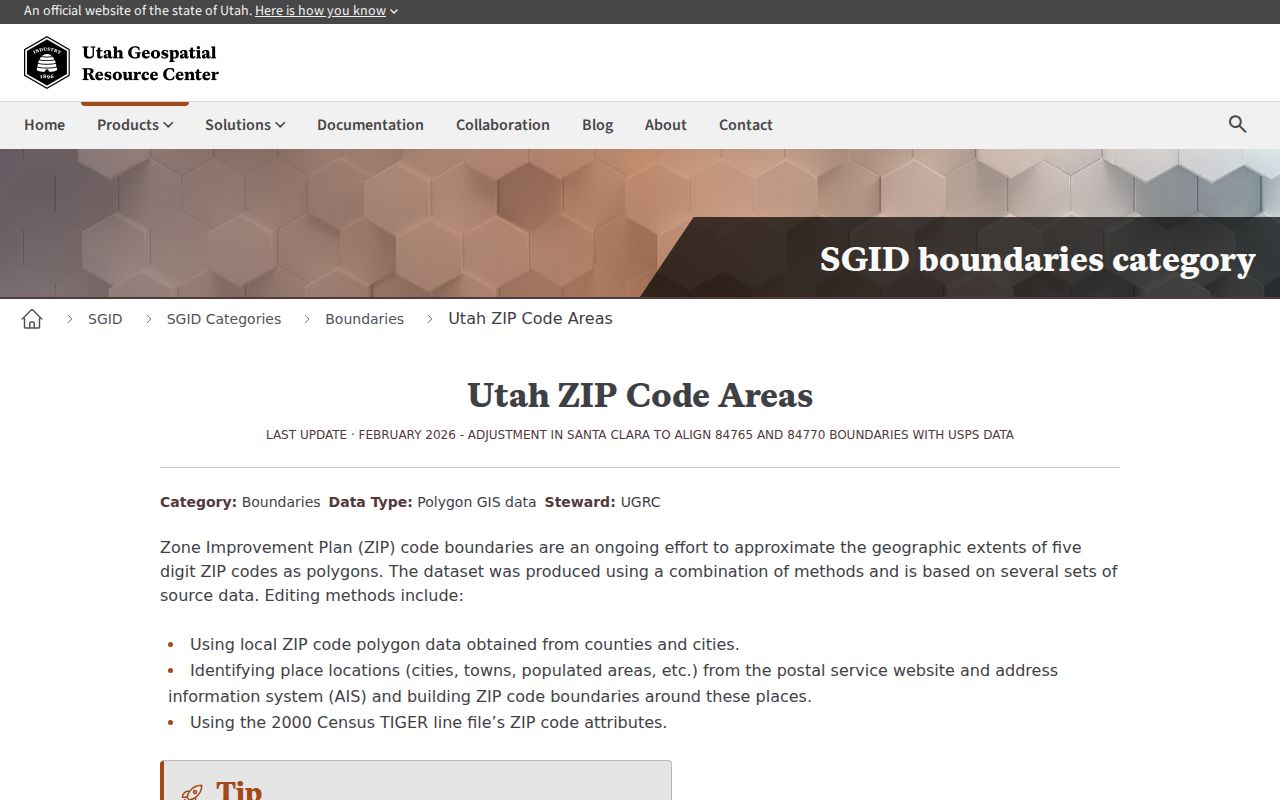
Its polygons are approximate delivery areas, not a list of residents or a legal city boundary.
Pleasant Grove ZIP Boundaries
A boundary claim needs the right authority. City code explains the address-numbering convention. County GIS shows parcels and roads. UGRC shows an approximate ZIP layer. USPS supplies the delivery result. Census supplies city statistics. None should be used to stand in for the others.
An annexation or readdressing statement needs a dated ordinance or notice, county cadastral evidence, and a before-and-after address or map. Research did not locate a dedicated E911 administrator, local ZIP realignment history, or citywide readdressing project year. A Sanborn sheet or County Atlas can show old labels and physical features, but cannot alone establish a legal effective date.
What Pleasant Grove ZIP Directory Cannot Show
There is no inspected official local portal that returns a complete current-resident list by ZIP. A voter file is regulated election data. A parcel result is a property connection. A business register is an organization record. A newspaper is a dated publication. Even when an address is valid, the ZIP cannot tell who is in a home now.
Use the smallest answer. Use ZIP research for mail, map, parcel, civic, and family-history questions. Do not use a ZIP code or address set to target, monitor, threaten, or harass anyone.
If a person may be protected by Safe at Home or an At-Risk voter designation, do not try to reverse the protection through a ZIP search. For a disputed result, contact the agency that owns the field and preserve the query date.