
Trace a Pleasant Grove Street
A useful street directory search follows five handoffs. The address goes to the county GIS or property route. The result supplies a parcel serial. The serial opens a property view or abstract. The abstract identifies recorded instruments and parties. A separate election, historical, or city source can add a dated connection. This order matters because the county’s direct address form was not fully observed during research, while the GIS address search and serial formats were verified.
Keep the source’s original spelling in one field. Store a normalized search spelling in another. Preserve directional terms, unit text, postal city, ZIP, subdivision, and any legal description. If the result shows a mailing address that differs from the property line, retain both. A street directory is more reliable when it records uncertainty instead of silently changing the address.
- Enter the address in the Utah County Parcel Map and confirm the parcel.
- Copy the serial exactly, including its punctuation if displayed.
- Open the county property or abstract route and note the situs and mailing lines.
- Read each deed, plat, easement, HOA, or lender row by its document role.
- Use USPS, city code, or a dated map to resolve competing address labels.
Pleasant Grove Main Street Grid
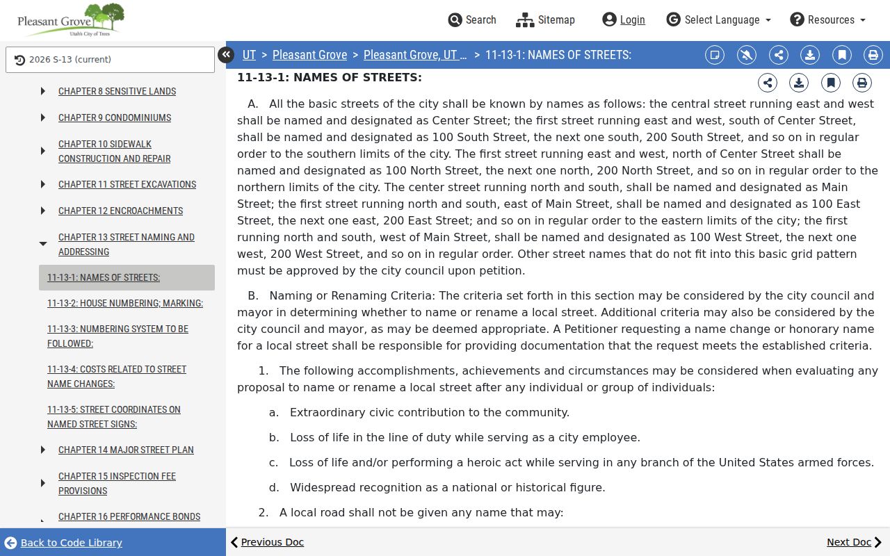
Pleasant Grove’s street code places Center Street on the central east-west line and Main Street on the central north-south line. Numbered streets use north, south, east, and west designations from those axes. That local rule gives a reader a practical way to read a street line before searching a name. It also helps distinguish a directional abbreviation from an accidental typo.
The code does not establish a historic renumbering date. Research did not locate a citywide readdressing project or a verified renaming timeline. When a newspaper, Sanborn sheet, or family paper uses an older label, compare it with the code, County Atlas, and map evidence, then mark the result as a probable match until a dated ordinance supports continuity.
The Pleasant Grove street-naming code is the right source for the current convention. It is not a substitute for the county parcel record or a legal description.
Pleasant Grove Address Records
Several record classes can be keyed to an address, but they answer different questions. The table below keeps the meanings apart. The voter file is not a public browse-by-street roster, and a license location is not a household claim.
| Address record | What it shows | Source | Limit |
|---|---|---|---|
| Parcel / abstract | Situs, mailing line, serial, parties, instruments | County Land Records | Not occupancy |
| GIS parcel | Boundary, owner search, layers, historic parcel view | County Parcel Map | Reference map |
| Voter record | Permitted registration fields and precinct | Utah voter lookup | Privacy and own-record rules |
| City license | Business location, activity, period, type | City register / GRAMA | Not a home list |
| Historic reverse directory | Dated address-to-name lead | Library or archive | Local run unverified |
Use the record class in every note. “Parcel association” is safer than “resident” when an abstract names an owner. “Published mention” fits a newspaper. “Registration output” describes a voter result without extending it beyond the election system.
The Utah County address-search route is the starting point for an address-keyed property record.
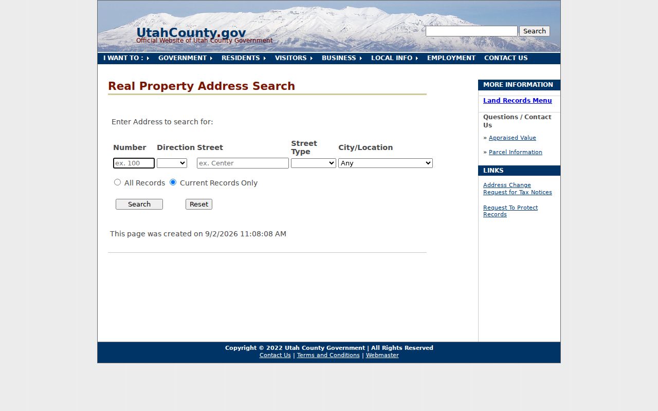
The direct form was not fully observable in the research run, so GIS address search is the documented fallback when this route does not load.
Pleasant Grove Street Search Fields
The county’s verified search fields make address research concrete. Name Search accepts an entered name in a last-name-first pattern and offers All Records, Current Records Only, and Never Valid Only. Serial Search accepts several formats. The GIS map adds address autocomplete, owner-name search, PLSS search, layers, and a historic-date control.
| GIS address | Autocomplete text; street abbreviations and directions are accepted. |
|---|---|
| GIS serial | Digits such as 123456789, or colon, space, hyphen, and comma-separated forms. |
| GIS owner | Partial or full owner name; select a result to zoom. |
| PLSS | Township, range, and section search provides a geographic key. |
| Historic date | Type a year or use arrows; historic map date is not deed recording date. |
| County name | LAST, FIRST MIDDLE, with optional record-status choice. |
The direct county serial search is the stable bridge after an address result is found.
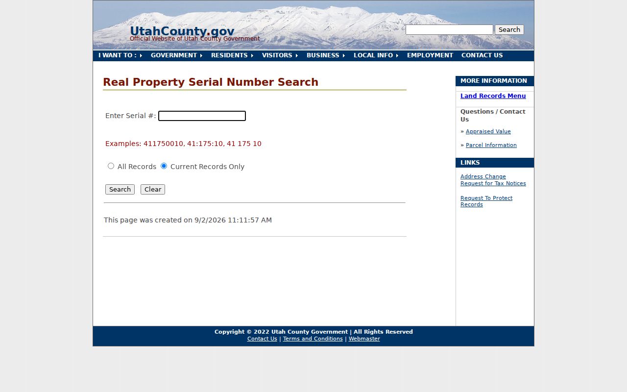
Accepted serial styles include digits, colon-separated text, and spaces. The address form’s exact required fields and pagination remain a research gap.
Pleasant Grove Parcel Map
The Parcel Map supplies a spatial layer that a text index cannot. Search an address or serial, select the parcel, and compare the shape with surrounding lots. The map exposes layers, basemap controls, historic parcels, print and export tools, and a support panel. The county GIS service also publishes a tax-parcel layer with an OWNER_NAME display field and query, statistics, and pagination controls.
A visible polygon is still reference information. The historic date control describes a map view tied to the online property system, not the date a deed was recorded. Do not use a parcel boundary as proof of a neighbor’s household, and do not read a map owner label as a statement about current occupancy. Keep the parcel serial and the map date with the screenshot.
The GIS division lists parcel, annexation, precinct, property-notification, zoning, hazard, road, and survey-plat maps. These layers answer place questions. They do not create a public list of every person on a street.
The county’s GIS map inventory is shown in this official map directory.
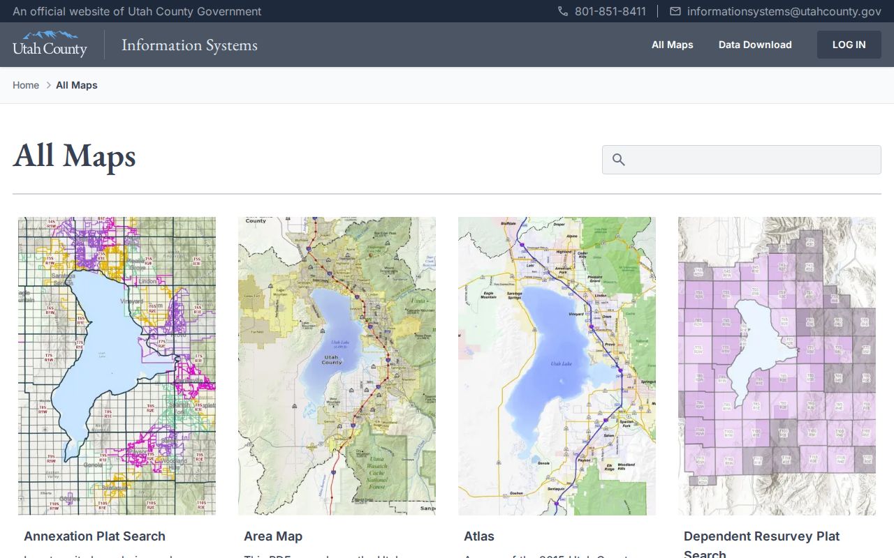
The map inventory helps identify which layer fits an address question before a search is run.
Pleasant Grove Deed Chain
A parcel abstract uses terms that need care. A situs address is the property location used by the parcel system. A mailing address is where a notice is sent. A plat is a recorded map of lots or subdivision layout. A criss-cross directory is a historical address-order directory, if a local volume can be verified. These are not interchangeable.
- Serial
- The county parcel identifier that links a map, property view, abstract, and tax route.
- Grantor
- The person or entity transferring an interest in an instrument.
- Grantee
- The person or entity receiving that interest.
- Abstract
- A parcel-centered index of recorded entries, not a complete title opinion.
Inspected Pleasant Grove abstracts show owner and mailing lines, taxing description, grantor and grantee, comments, entry number, book and page, instrument kind, recording date and time, consideration, satisfaction, and tie entries. Liberty Grove material demonstrates that a plat, HOA, easement, deed, and lender record can sit in one timeline. Do not treat every named party as an occupant.
Pleasant Grove Mailing Lines
USPS is the standardization route for a postal address. The Pleasant Grove Post Office is at 180 S 100 W and is associated with ZIP 84062. USPS can verify a particular address and postal output, but it does not verify that a person or business resides there. UGRC ZIP polygons are delivery geographies, not exact city limits.
County parcel, city boundary, postal city, precinct, ZIP, and legal description belong in separate columns. Nearby American Fork 84003 and Orem 84057 offices do not establish a citywide overlap. Research did not locate an official edge-address list for 84003 or 84042, so a disputed edge must be checked individually through USPS and county GIS.
Use the Pleasant Grove USPS location record for the post-office and ZIP detail.
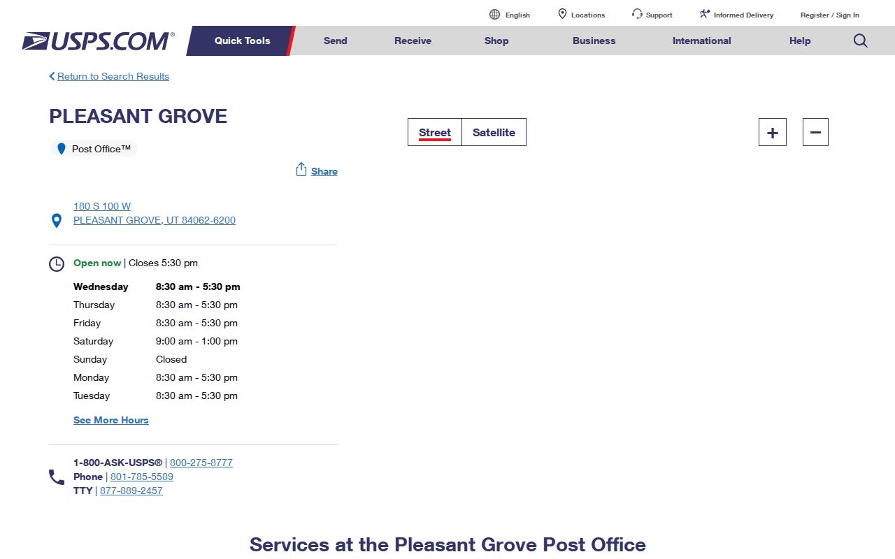
The USPS location confirms the local postal landmark, while the UGRC ZIP layer remains an approximate geographic comparison.
Pleasant Grove Street Licenses
Pleasant Grove’s 2026 business-license PDF is a dated register. Its columns include account number, business name, phone, location, mailing address, city, state, ZIP, owner, activity, license period, and type. Those fields can support a place or organization history along a street. They cannot show that an owner lives at the listed location, and the register has no interactive search.
If a license or permit question matters, ask City Hall for a precise dated record through the city GRAMA process. The form allows inspection or copies, a cost authorization cap, a fee-waiver request, and an expedited basis. Current permit, inspection, and code-case search fields were not located, so an agenda or license PDF should not be presented as a full address history.
The Pleasant Grove street-naming code supplies the current numbering and naming rule.
Neighborhood labels in a public notice are not resident rolls. A March 24, 2026 notice mentions Sam White’s Lane Neighborhood and a proposed bank branch at 545 S Pleasant Grove Blvd, evidence of a public meeting and development proposal.
The Utah County property information route supplies tax and appraisal context after a parcel is identified.
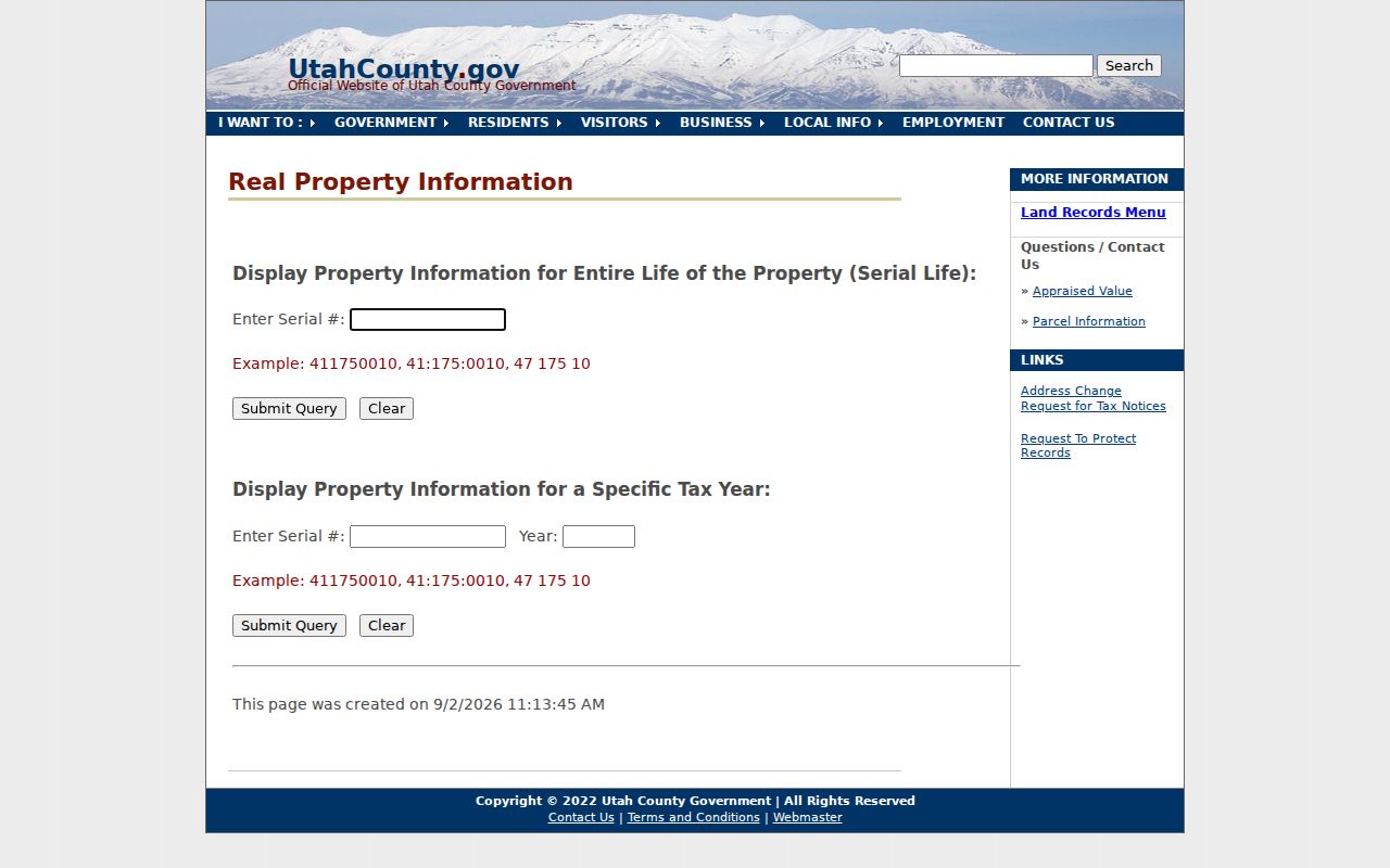
Property context is not a household list, and a displayed owner is not proof of present occupancy.
For a question about a dated city file, the Pleasant Grove GRAMA form asks for the department, subject, record description, date range, inspection or copy choice, and a cost cap. The form states a normal response within 10 business days, or five business days for an expedited request. Current permit fields remain unverified.
Pleasant Grove Historic Streets
The 1890 Pleasant Grove Sanborn set has four sheets. Related 1907 material describes Main, Center, numbered streets, a public school, and Pleasant Grove LDS Church. The National Register nomination describes an approximately 112-acre historic district and soft-rock construction. These sources help place an old address or institution, but they do not identify every person who lived nearby.
When a family paper gives an old street name, search the newspaper archive by street, date, school, organization, or event. Compare the scan with OCR. The 3,923 Pleasant Grove-filtered Utah Digital Newspapers results include Pleasant Grove Review, Pleasant Grove News, and Timpanogos Times. Use a directory or newspaper as a dated lead, then confirm with a parcel, cemetery, vital, or archive source.
A street directory search becomes a place-history tool when it preserves the old wording, source date, map sheet, parcel serial, and confidence level in the same worksheet.
What Pleasant Grove Street Records Cannot Show
Public address records do not reveal every household member, renter, utility customer, delivery customer, or DMV address. The federal DPPA controls DMV address information. The research did not identify private utility or delivery data as an open municipal source. A public parcel or license record contains an address because of its administrative purpose; that does not authorize expanding it into a household claim.
Lawful use. Use the Pleasant Grove street directory for parcel research, family history, civic records, and scam verification. Do not use street records to stalk, harass, threaten, or intimidate anyone.
For a full street chain, keep only the minimum personal detail needed to cite the source. If the question shifts from a whole street to one person, use the Pleasant Grove resident lookup workflow and apply its identity and privacy rules.